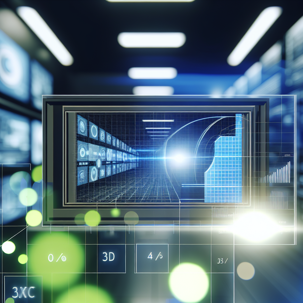
Leveraging 2D data in 3D environments and vice versa has become a cornerstone of advancements in fields such as computer vision, virtual reality, and digital modeling. Understanding how to effectively integrate these data types can enhance accuracy, reduce costs, and open new possibilities for applications across industries. In this article, we explore techniques and methodologies that facilitate the seamless exchange between 2D and 3D data modalities.
Transforming 2D Data Into 3D Models: Techniques and Challenges
Transforming 2D data into comprehensive 3D models involves a series of complex processes that require sophisticated algorithms and substantial computational resources. Techniques such as *photogrammetry* and *stereo vision* are commonly used to reconstruct 3D models from multiple 2D images. Photogrammetry leverages overlapping photographs taken from different angles to generate a 3D point cloud or mesh, effectively turning flat images into spatially accurate representations. Stereo vision employs two or more images captured from slightly different perspectives to infer depth through disparity calculations, mimicking human binocular vision.
One of the main challenges in this domain is dealing with limited or low-quality data, which can lead to inaccuracies in the final 3D model. To mitigate this, researchers incorporate *machine learning algorithms* that can infer missing information and improve reconstruction quality. For instance, deep learning models trained on large datasets can predict depth maps from single images, reducing the need for multiple captures. This approach not only speeds up the modeling process but also enhances feasibility in real-time applications like autonomous vehicles or augmented reality.
Incorporating 3D Data to Enhance 2D Visuals and Analytics
Conversely, utilizing 3D data to enhance 2D visuals plays a pivotal role in fields such as medical imaging and urban planning. When 3D models are projected onto 2D spaces, they can provide richer contextual information, improve visualization clarity, and support more accurate analysis. For example, in geographic information systems (GIS), 3D terrain models are rendered into 2D maps with elevation contours, giving users detailed spatial insights at a glance.
Advancements in this area include the development of *rendering techniques* that accurately project 3D structures onto 2D planes while preserving critical spatial relationships. These techniques are complemented by *data augmentation methods*, which manipulate 2D representations to include various perspectives or simulated lighting conditions, thereby offering a comprehensive understanding of the 3D scene. Integration of 2D and 3D data also enhances object detection and classification accuracy, particularly in cluttered or complex environments, by leveraging the depth cues from 3D models alongside traditional 2D image features.
Ultimately, combining 2D and 3D data efficiently and accurately depends on tailored algorithms and contextual application needs. Whether reconstructing 3D models from 2D images or enriching 2D visuals with 3D data, mastering this interplay leads to more immersive and precise digital experiences and smarter analytical tools.
In conclusion, leveraging 2D data in 3D modeling and vice versa is transforming numerous industries by improving accuracy, efficiency, and visual richness. From advanced reconstruction techniques to innovative projection methods, understanding how these data types integrate empowers developers and researchers to push the boundaries of digital innovation. Embracing these methodologies will continue to facilitate smarter applications, making digital environments more realistic and informative for users across the board.