Integrating topographical data from Civil 3D into Revit can significantly streamline your design workflow, especially when working on projects that require precise terrain modeling and site analysis. In this guide, we will explore effective methods to bring Civil 3D surfaces into Revit, ensuring accuracy and efficiency in your BIM workflows.
Exporting Civil 3D Surface Data for Revit Integration
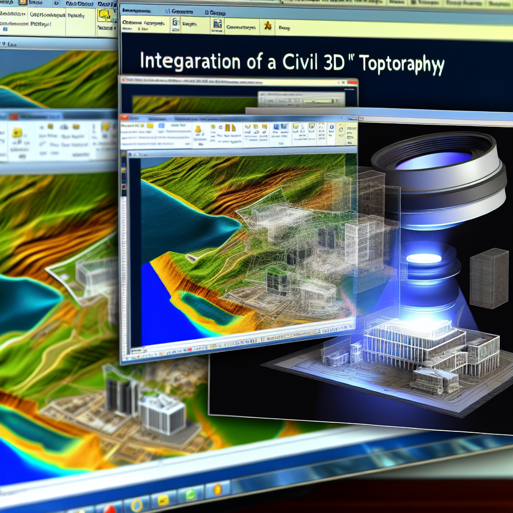
To bring a Civil 3D topographical surface into Revit, the first essential step involves exporting the Civil 3D surface data into a compatible format. Civil 3D primarily supports exporting surface data as Land XML (.xml), which is widely accepted by Revit through intermediary formats or direct import plugins.
Steps to export Civil 3D surface:
- Select the Civil 3D surface in your drawing.
- Navigate to the Output tab and click on Export to LandXML.
- Choose a location to save your .xml file and configure the export options, including the source surface.
- Complete the export. Your topographical data is now ready for import into Revit through suitable workflows.
This method preserves your terrain’s elevation data, contours, and breaklines, ensuring fidelity during the transition between software platforms.
Importing Civil 3D Topography into Revit
Revit doesn’t natively support LandXML files for topo surfaces, but with the right tools or plugins, you can efficiently import Civil 3D terrain data into Revit. A common approach involves using Dynamo, Revit’s visual programming extension, or dedicated site planning plugins.
Using Dynamo to import LandXML data:
- Open Revit and launch Dynamo.
- Use the LandXML.Read node available in some packages or custom scripts to load your exported LandXML file.
- Map the data points (coordinates and elevations) into Revit’s topo surface creation nodes.
- Run the script to generate a topographical surface within Revit based on your Civil 3D data.
This process allows for a high level of control and precision in translating topographical data from Civil 3D into Revit, facilitating accurate site modeling and analysis.
Alternative Workflow: Using Civil View or Autodesk InfraWorks
If Dynamo isn’t an option, consider using Autodesk Civil View or InfraWorks, which act as intermediaries. Import your Civil 3D surface into InfraWorks, then export as a Revit-compatible format like DWG. Once in Revit, use the Topo Surface tool to create your terrain model from the DWG data, ensuring your site maintains its original topography.
Final Thoughts
Bringing Civil 3D topographical surfaces into Revit involves careful export-import procedures with tools like LandXML, Dynamo, or InfraWorks. Understanding the workflows and leveraging appropriate plugins ensures your terrain data remains accurate and usable within your BIM projects. Mastering this process enhances your ability to seamlessly integrate civil and architectural models, leading to more cohesive and well-informed designs.